
City Centre Construction Update 18 October 2024

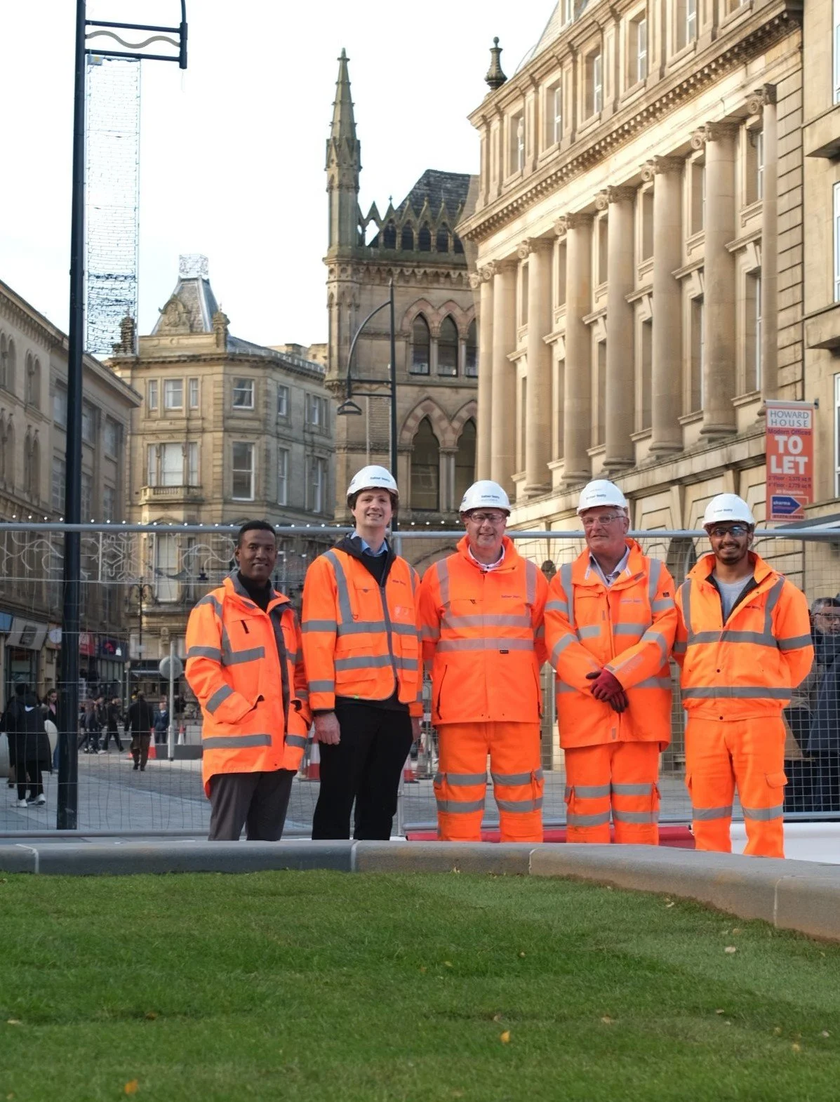
Above: An image of the 'meeting circle' with surrounding crescent planter units. The space will form part of a new park on Hall Ings. City Hall can be seen in the background.
Welcome to the weekly e-newsletter for the Bradford City Centre Walking and Cycling Improvements Scheme.
This edition includes everything you need to know about the Bradford City Centre Walking and Cycling Improvements Scheme for the coming days. We upload each weekly newsletter to the Future Bradford website. You can find copies of each e-newsletter on our news page if you would like to look back at previous editions.
Progress update
Works reach major milestone with first trees planted
This week, we're pleased to share that planting of greenery has officially started in the newly created open spaces of the city centre.
Visitors and residents can now begin to see the vision for a transformed city centre coming to life, as trees have started being planted along Market Street. Soft landscaping (meaning the landscape design of green spaces) and turfing has also begun in other parts of the city centre.
Above: Above: Image of the Balfour Beatty construction team with Councillor Alex Ross-Shaw, Bradford Council's portfolio holder for Regeneration, Planning and Transport, at Broadway, where new turfing has been laid.
At the Broadway and Bank Street junction, new turfing has been laid in what will eventually become an open green space where people can rest, relax and spend time.
The next phase of works will see further greenery added in to the new raised planters and roadside plant beds, improving the biodiversity of the city centre.
We have shared an image below of the new turfing.

Above: Image of new turfing that has been planted at the Broadway and Bank Street junction. The area is currently fenced but will eventually be opened up.
We'd like to thank everyone for their continued patience while works are being completed. Bradford Council has been working at speed with Balfour Beatty to re-open sections of the city centre, with many areas now approaching completion.
There will still be finishing touches following this, such as soft landscaping (meaning the landscape design of green spaces) and installation of street furniture.
A new 'meeting circle' formed by two large crescent shaped planters, located on Hall Ings, just by St George's Hall, is starting to come to life. More planting has also been going in between St George's Hall and Britannia House.
The spaces will form part of a major new park on Hall Ings, going all the way up to the former Jacob's Well roundabout.
We have shared a series of progress images below.

Above: An image of the 'meeting circle' with surrounding crescent planter units. The space will form part of a new park on Hall Ings. City Hall can be seen in the background.

Above: Image of newly planted spaces on Hall Ings, between St George's Hall and Britannia House. City Hall can be seen in the background.

Above: Image of a newly paved cycling surface on the approach to Hall Ings, from the former Jacob's Well roundabout.
Pedestrian access and open spaces
An overview of the new open spaces and temporary crossings is provided in the map below. Detailed maps can also be viewed on the Future Bradford website.
The new spaces that we’re creating are only for pedestrian use. This means that the newly pedestrianised roads are permanently closed to through-traffic. However, authorised vehicles will be allowed access at certain times.
Full details will be shared in the city centre access policy which is currently being finalised by Bradford Council.

Above: Map shows the pedestrian crossing points in Bradford city centre. Temporary crossings are in place at the following locations: Market Street at the junctions with Charles Street and Bridge Street. Hall Ings at the junctions with Drake Street, Bank Street, and Bridge Street. Bridge Street at the junctions with Market Street, and Broadway. There are also temporary crossings between the Broadway junction and Hall Ings.
If you have any questions about temporary pedestrian access routes in the city centre, please email info@future-bradford.co.uk.
Reminders
Changes to the permitted service and residential vehicles route

Map showing the new route that permitted service and residential vehicles must follow to access the city centre core between permitted hours, which is any time before 10:30am and any time after 4:30pm each day. Vehicles should enter the one-way system via gate B (from Leeds Road) and exit via gate A (towards Cheapside).
We would like to remind road users that the access route is currently operating a 7.5 tonne weight restriction for vehicles.
-
Traffic management outside the core of the city centre has been and will continue to be removed where possible, as work has begun within the very core of the city centre. See below for a detailed summary of the latest updates about the works taking place around the city centre. If you would like to view any maps relating to where work is taking place, please click here.
Please do get in touch with us via our email address (info@future-bradford.co.uk) if you have any questions about the works taking place throughout the city centre.
-
Cycle Superhighway works are still taking place west of the junction with Barry Street. This work has provided wider footpaths and introduced cycle lanes. New bus shelters have also been put in place for bus routes travelling out of the city centre.
-
What: Work on the new central reservation on Godwin Street between Thornton Road and Jacobs Well and the new pocket park at the bottom of Little Horton Lane continues.
Traffic management: Little Horton Lane is closed to all traffic at its junction with Godwin Street. Traffic travelling in either direction on Godwin Street is not permitted to use the new pedestrian super crossing to make a U-turn.
Why: This change will provide more space for bus stops and routes into the city and an additional bus lane on Godwin Street.
-
What: At Jacobs Well, works are continuing within and around the former roundabout at Jacobs Well.
Traffic management: There will continue to be lane closures and traffic management around Jacobs Well.
Why: This work has seen Jacobs Well roundabout become a super crossing.
Click here for more details on Jacobs Well, Prince’s Way and City Park.
-
What: Work is mostly complete on Croft Street and Senior Way and the new lanes are open to traffic. Works to install the new cycleway and central reserve are nearing completion on Manchester Road with the finishing touches such as soft landscaping underway.
Traffic management: Lane closures will continue on Manchester Road northbound from Croft Street to Jacobs Well.
Why: The works here are to create an additional lane on the gyratory section of Croft Street in each direction and a new cycleway on Manchester Road.
Click here for more details on Senior Way, Croft Street and Manchester Road.
-
What: We are nearing completion of works on both sides of Lower Kirkgate, to construct a new cycleway and footway.
Traffic management: Market Street is now closed to traffic at its junction with Kirkgate/Lower Kirkgate/Cheapside. The two way temporary traffic lights at this location have now been removed and the new traffic-light controlled pedestrian crossing is now in operation.
Why: The works here are to widen the junction to Canal Road, to allow for improved cycle lane provision, and build a new bus shelter. This work will also create a new crossing link into the city centre at Cheapside.
-
What: The installation of new drainage, kerbs and new carriageway, cycleway and footways will continue on Hall Ings.
Traffic management: Well Street and the section of Vicar Lane between Great Cross Street and Hall Ings is only open to buses and authorised traffic and the new Cyclops junction at Well Street/Vicar Lane/Hall Ings/Leeds Road is now operational. Hall Ings will continue to be reduced to one lane of traffic westbound between the junction with George Street and the junction with Drake Street.
Why: The work on Well Street has re-opened the road as a bus route, while the work on Vicar Lane has allowed for the reconnection of Vicar Lane to Hall Ings via the new ‘CYCLOPS’ junction.
Find out more
You can find out more about the scheme on the Future Bradford website or by getting in touch using the details and links below.
Get in touch if you would like to ask any questions
Email: info@future-bradford.co.uk
Write: Freepost BFD Highways
X (formerly Twitter): @bmdcHighways
Instagram: bradfordhighways
Facebook: Bradford Council Highways

Other news you might like


Welcome to the new-look Future Bradford e-newsletter